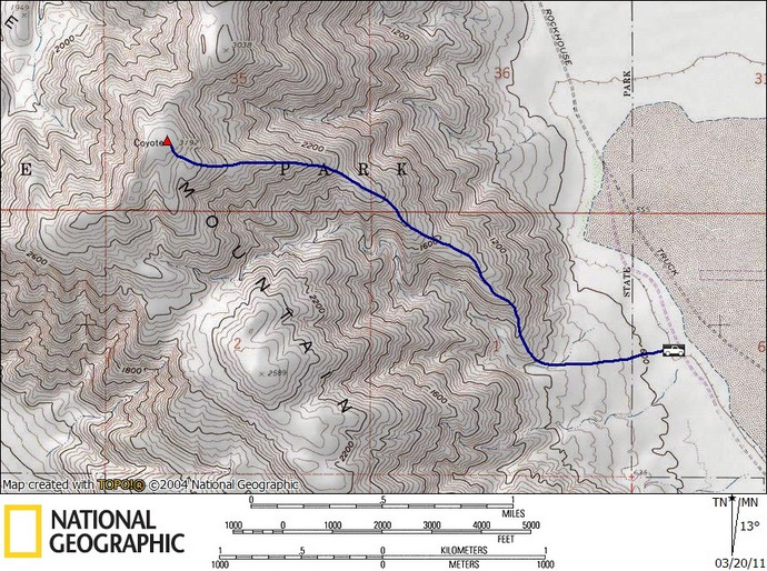
Coyote (SDC #10, 3192′) • map • directions
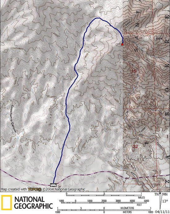
Travelers (aka Palm BM) (SDC #14, 2701′) • map • directions
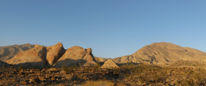
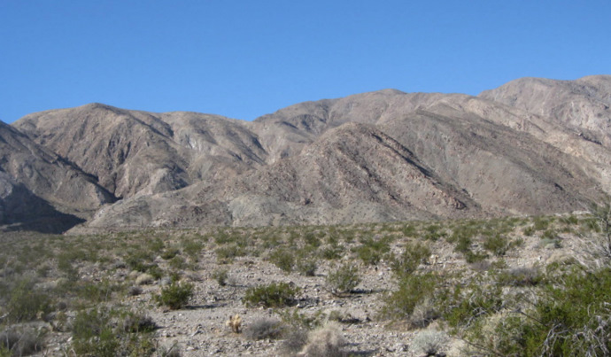
Anna and I arrived at the base of Coyote Mountain at 8:55 am just as it startedg to warm up outside. We had parked on a faint road that paralleled the well-groomed Rockhouse Truck trail, due east from the start of a steep ridge leading to Coyote’s summit. There was what looked like some kind of a mine with some large machinery between the base of Coyote and Clark Dry Lake, and not t a soul around.

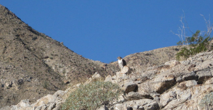
Anna and I hiked half a mile across the desert floor to the base of the ridge leading up to Coyote, noting how much colder it was than our last trip just a few weeks ago. Just as we started up the ridge I spotted a Red-tailed Hawk. I crept up as best I could to grab a photo and wished I had my DSLR with its long zoom lens. I was still able to grab a shot before the hawk noticed and flew off.
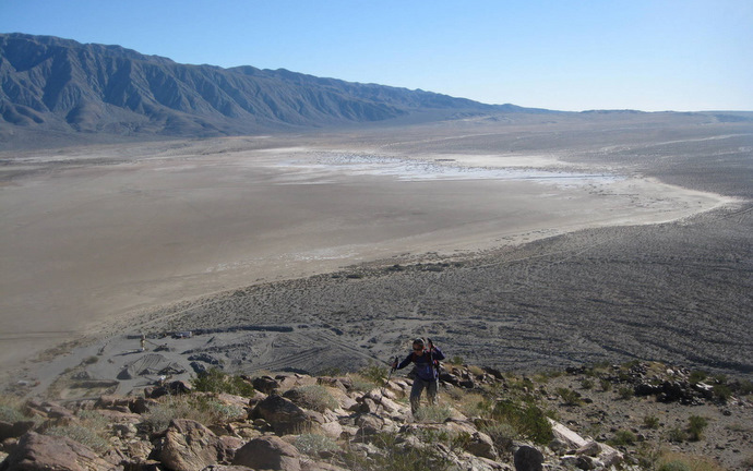
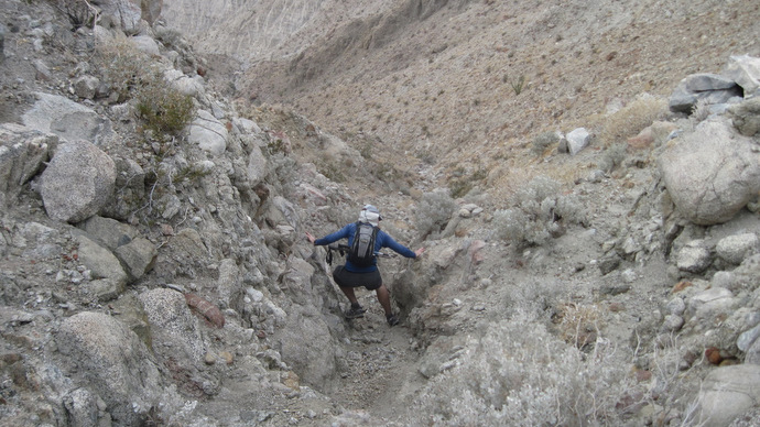
The ridge was steep and direct with a faint use trail along most of it. There was Teddy-Bear Cholla and huge Ocotillo along the entire route, and Clark Dry Lake was visible for most of the hike. A great perspective as to how much elevation we were gaining. We found the summit register at 10:25, just 90 nonstop minutes from the truck .We enjoyed the views of Rabbit and Villager peaks to the east, El Toro to the north, and the San Ysidro mountains to the west. We spent a good ten minutes on top and reversed the route, each pounding a liter of fluids en route to the next hike.


Travelers
Travelers was a peak that Anna and I had been thwarted on 2 weeks previous, running out of time before dark. This time we were getting started a few hours earlier and had nothing else planned for the rest of the day. We decided to head towards the west side of the mountain, exploring both the Truckhaven Rocks and what looked to be an enormous wash running along the west side of Palm.
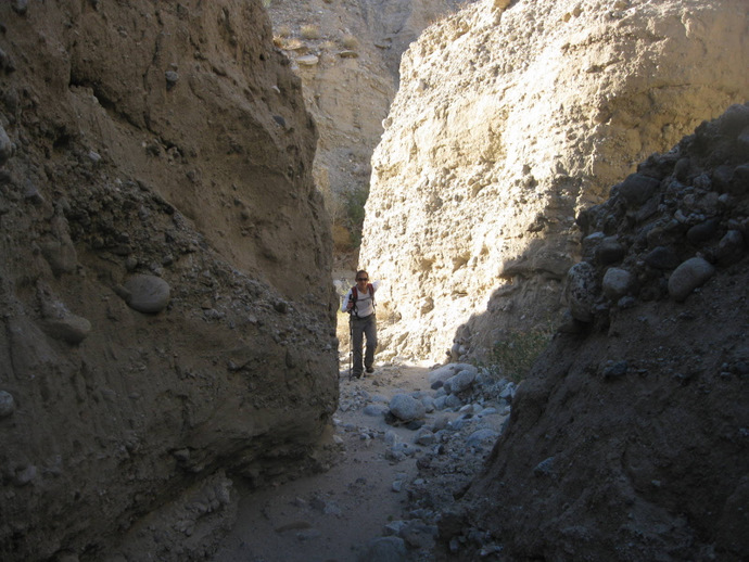
We parked on a wide shoulder along the S22 and started walking north, keeping the Truckhaven Rocks on our left and entering the most prominent wash on the left side of the peak. We crossed many small intersecting washes and slot canyons along the way, poking our head into a few before refocusing on the task at hand. One could spend hours exploring this small area.
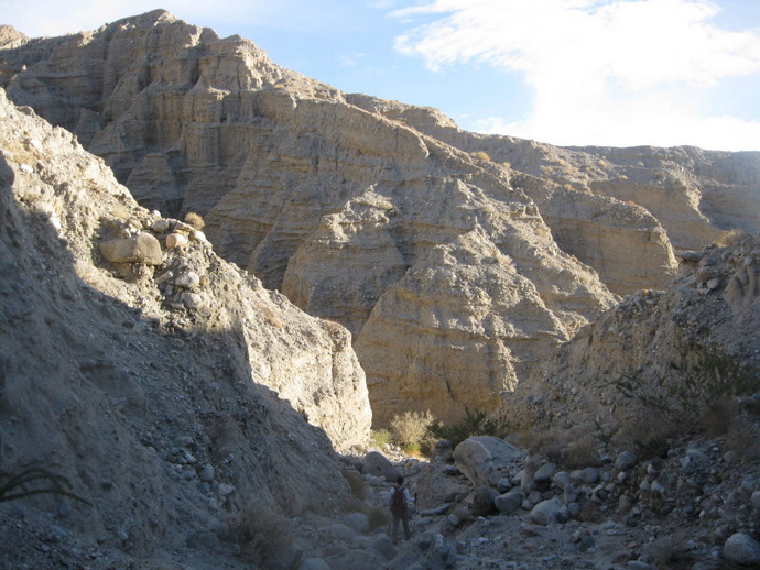
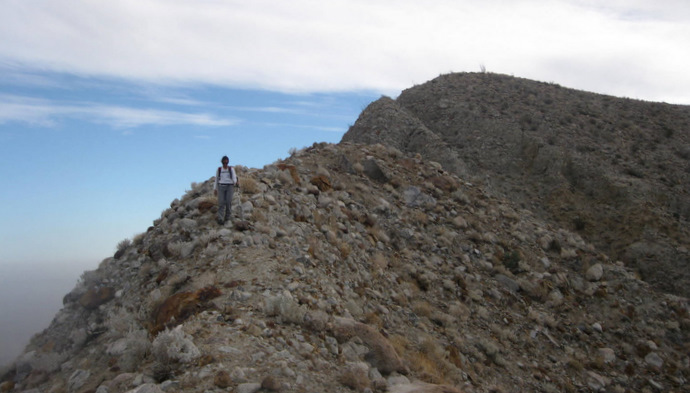
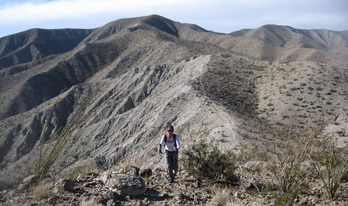
The wash we’d been following ended about two miles from the truck, Anna and I continued north up a cactus-covered slope to a saddle just northwest of Travelers. From the saddle we continued southeast, eventually getting onto a sharp ridge leading to its summit. We could see the long south ridge of Pyramid Peak along with the rest of the ridge that we were on, which loooked to be falling apart near the summit. We took extra caution on a few rotten narrow sections.
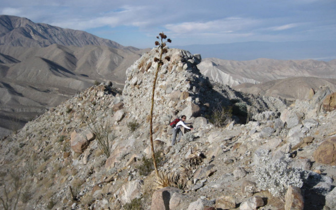
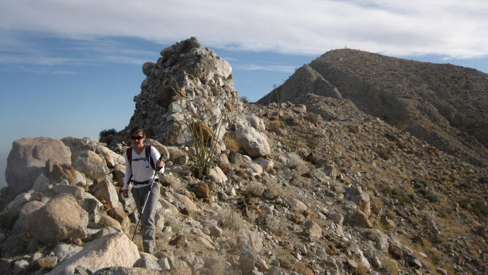
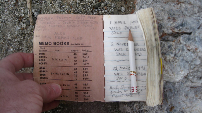
Just a hundred feet below the summit we traversed to our right and into a narrow chute that sliced up through the ridge. It was steep and choked full of loose rock and dirt, requiring placing our hands on the sides to help with upward progress. Sometimes whatever I grabbed on to would crumble and I made sure that Anna wasn’t directly below me in case I sent some rocks here way. I imagined large pieces of the ridge falling away in the next el nino or big earthquake, but I failed to mention that to Anna who was less than thrilled at of our current location. At the top of the chute I mantled my way up onto a flat surface just a few minute’s walk from the summit register, placed by Wes Shelberg over 30 years ago and signed several times by him.
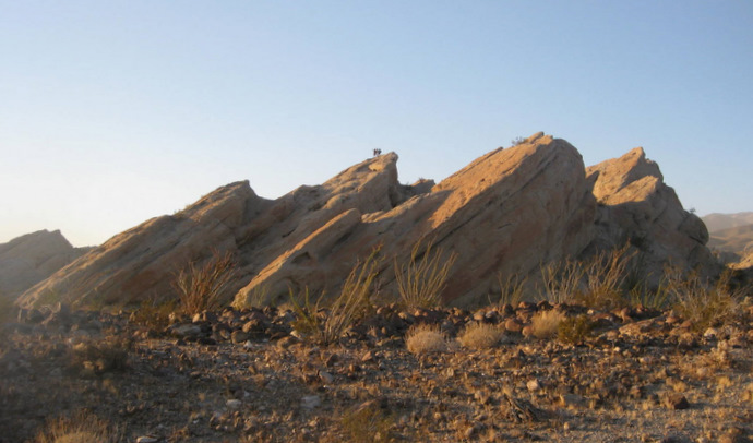
After signing the register, Anna and I dropped back into the chute, then retraced our steps onto the narrow ridge and down into the wash. We took our sweet time getting back to the truck, admiring the torn up earthand stopping to get pictures of the Truckhaven Rocks. Once back at the truck we drove into Borrego Springs for dinner at Carlee’s for the second time this month, again putting down a few burgers while watching karaoke. We then drove to our camp for the night, just off the highway near the start of tomorrow’s hike.