
Gower (SDC #47, 3110′) • map • directions
Eagle (SDC #86, 3226′) • map • directions*
Gower
Mt. Gower lies just 6 miles outside of downtown Ramona and faces Eagle Peak across the headwaters of the San Diego River. The standard trail to reach Mt. Gower’s summit begins at the edge of a neighborhood and is legally accessible to the general public.
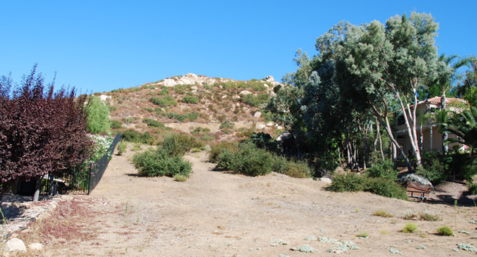
Access to Mt. Gower from Daza Drive
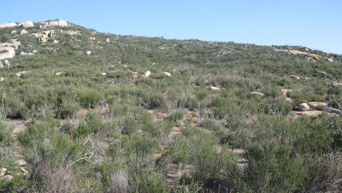
Early Sunday morning, Anna and I parked on Daza Drive and walked up between two houses to reach the trail to Mt. Gower. We had similarly started out between two houses the previous weekend on Bell Bluff, it always seemed a little weird but I’m sure the people living there were used to it by now. We reached a paved road and followed it uphill, using a pedestrian entrance when we came to a locked gate, and continuing around the water towers and onto the trail.
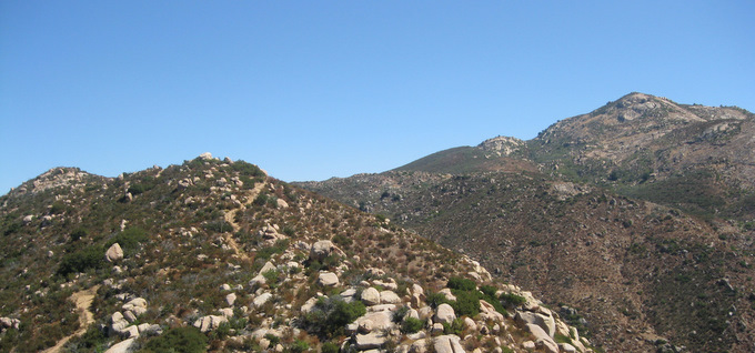
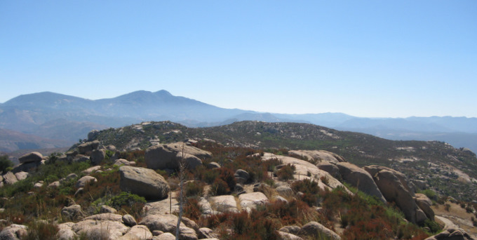
The trail follows the ridge on the left, Mt. Gower on the right
There was lots of interesting rock around Mt. Gower
We followed the trail for a mile and a half or perhaps a little further before we took a left (east) turn onto a steep use trail. The use trail was marked by a few ducks and led up steeper ground to some large rock slabs, from where we began scrambling up to Mt. Gower’s west summit.

Nearing Mt. Gower’s west summit
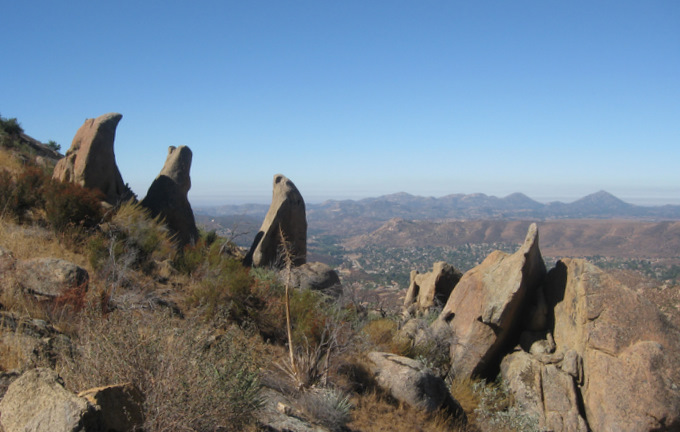
Views northwest from Mt. Gower
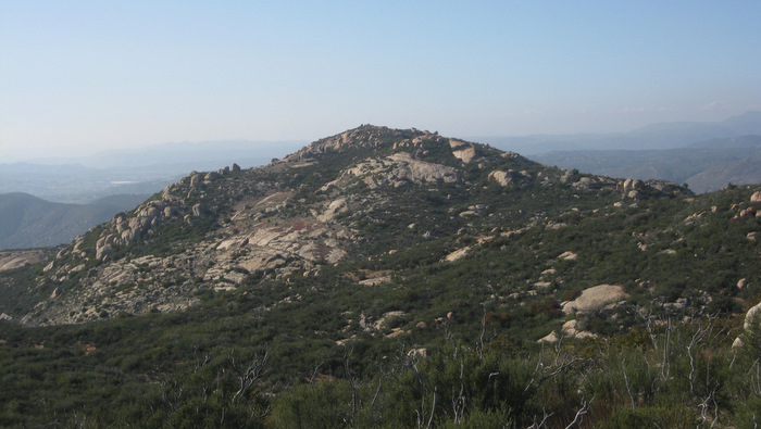
Looking towards the high point of Mt. Gower (on the left), overshadowed by Cuyamaca and Middle Peaks
Upon reaching the top of Mt. Gower, we snapped a few pictures and quickly retraced our steps, stopping for a break on the slabs a few hundred feet below to take a breather and get some food. A mountain biker had ridden over our tracks since we’d gone higher, but we never saw another person the entire 3 hours we were out there.
UPDATE
Since my visit to Mt. Gower with Anna in September 2010, I had questioned whether or not we had actually reached the highpoint. After reading that there was a register at the correct location, and comparing the SDC listed coordinate against my topo, I realized that Anna and I had not reached the true summit of Mt. Gower. I returned on March 13, 2012, and almost missed the summit a second time by heading to what the map shows as the highpoint. I eventually made my way to the correct location, and did indeed find a summit register placed by John Strauch in 1996 with very few entries. The map at the bottom of the page reflects both the location of the register and the SDC coordinate.
Working through the brush to Mt. Gower’s true summit (March 13, 2012)
Looking back at Mt. Gower’s more popular western summit (March 13, 2012)
As the crow flies, Eagle Peak is only 4 miles from Mt. Gower, but with the San Diego River between them it took us an hour to drive around through Julian to get to the trailhead for Eagle Peak. I had entertained the idea of trying to link the two peaks together into one hike, but it would have involved loads of cross country travel elevation gain and never would have fit into our leisurely day.
The trailhead for Eagle Peak is on Boulder Creek Rd, a graded dirt road mild enough for passenger cars, and it was familiar from my previous visit. I’d been up Eagle Peak 3 years or so before, on a loop hike to visit the 3 Sisters waterfalls and the Devil’s Punchbowl. We had reached Eagle Peak pretty late in the day on that trip though, so I was looking forward to another visit.
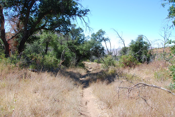
A well worn trail on Eagle Peak
Within a few minutes of Anna and I leaving the truck, we dropped a few hundred feet of elevation to a trail junction for the 3 Sisters falls. 3 guys in their late teens or so were sitting under a tree there and inquired about my destination. They confessed that they had wanted to go to Eagle Peak, but had turned off towards the falls by mistake and were too tired to explore both directions in one day. The sun was beating down hard now, I sure didn’t blame them. Had I not been trying to clear my fall schedule for desert peaks, I may have chosen another day for Eagle Peak as well!
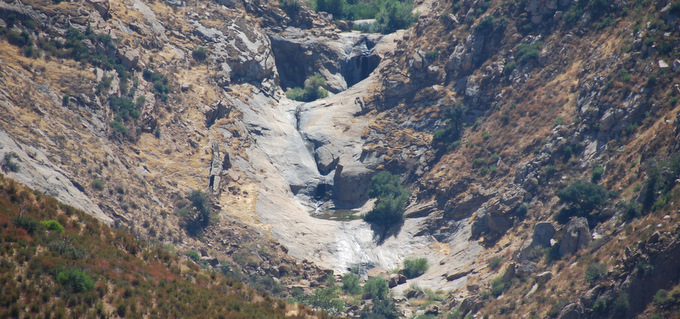
3 Sisters Falls
I regained my elevation with Anna close behind, before losing it again into a thinly forested basin just northeast of and 300 feet lower than the summit. We followed a use trail that broke off to the left and switchbacked up onto the main ridge that is Eagle Peak, which we followed the rest of the way to the summit.
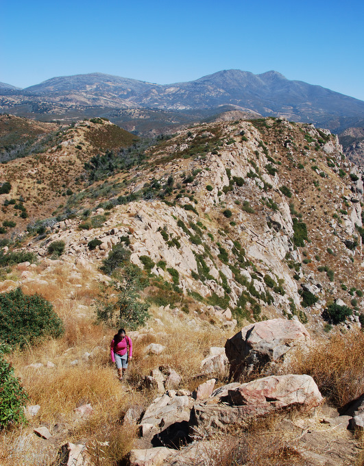
Anna on Eagle’s east ridge
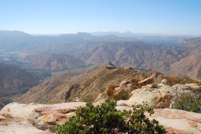
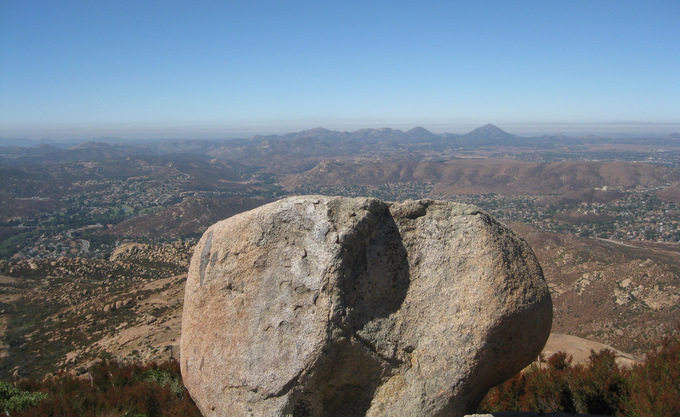
Views south from Eagle Peak
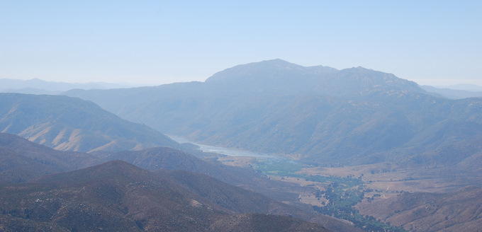
Mt. Gower from Eagle Peak
The last 1/4 mile of Eagle Peak was awesome, and it truly lived up to its name as birds of prey (Red-Tailed Hawks I think) swirled overhead. We followed the same trail back to the truck, making the roundtrip hike in less than 2 hours, plenty of time left over to stop into Julian for dinner on the way home.
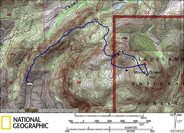
The red triangle marks the SDC listed point and the register
Gower stats: 5.8 miles roundtrip, 1700 feet gain/loss
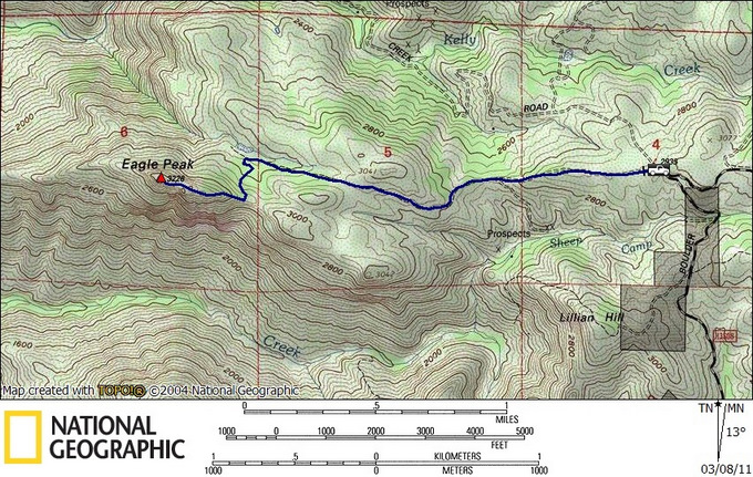
Eagle stats: 4.5 miles roundtrip, 1000 feet gain/loss
*-I’ve added an intermediate ponit in the driving directions to insure a northern driving approach for Eagle Peak.