
McGinty (SDC #96, 2183′) • map • directions
It had been sprinkling off and on the day that Anna and I had planned to hike Mt. McGinty. We had both left work a few hours early to grab this relatively nearby peak mid-week, and we were hoping the weather would hold. We found the small dirt parking lot on Jamul Drive and began hiking under gray but non-threatening skies.
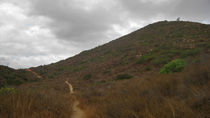
The first few hundred feet of the trail up Mt. McGinty’s south ridge.
We followed the trail for just under a half mile before taking a sharp right fork to get onto the south ridge, which we would take all the way to the summit. The views were great despite the cloudy skies and nearby residences the first half of the hike.

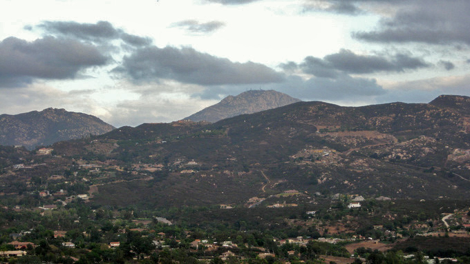
The view looking west from half way up the south ridge
The view east from the south ridge, Lyons Peak rising in the distance
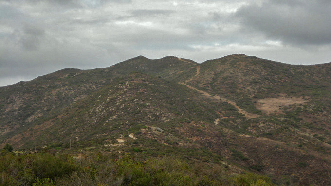
The upper half of Mt. McGinty
The route was extremely straightforward, and we managed to stay dry, spending a few minutes on top and getting our headlamps out for the last mile back to the car.

Anna getting close to the top

The summit of Mt. McGinty
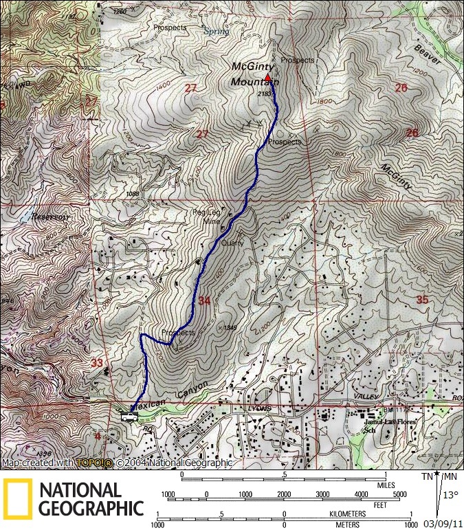
McGinty stats: 4.5 miles roundtrip, 900 feet gain/loss