Agua Tibia (SDC #40, 4781′) • map • directions
Eagle Crag (SDC #41, 5077′)
Long time friend Philip Stinis called me up on Sunday evening, mentioning that he had business in San Diego on Monday and asked if he could drive down early and crash at my place. When he asked whether I had any hiking plans in the next day or two, I laughed, because indeed I did. I had plans to do the longest (though not toughest) hike that I would do while working on the SDC peak list. That may not have been what Phil had in mind but I knew he’d be game.
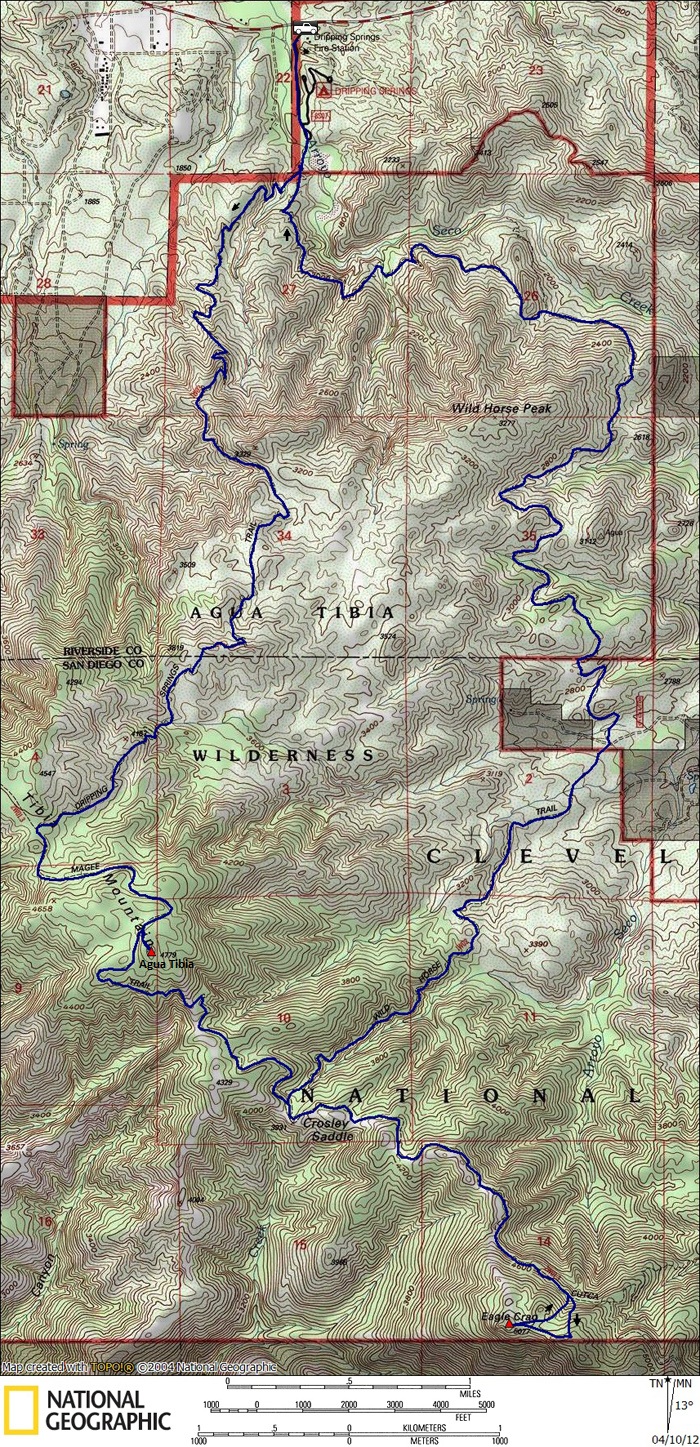
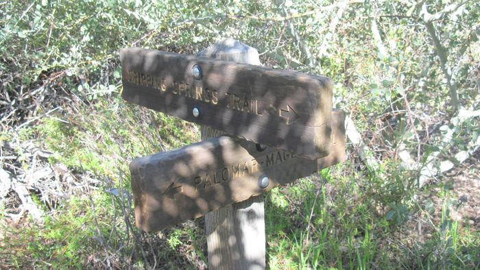
Phil and I met back at my place at 8pm on Monday night, threw our packs together and crashed early. At 10 after 5am, I walked out into the living room and woke him up, soon on our way. It took us just an hour to drive to the trailhead located within the Dripping Springs campground. Sine a fire devastated the area, the campground has been closed for years but the trail remains open. We paid the $5 day use fee and walked to the southern end of the campground where I signed Phil and myself in to the trail register just before 7am.
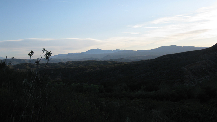
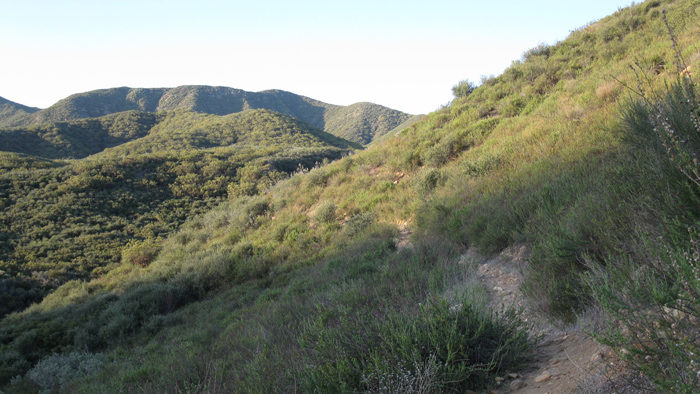
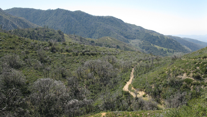
Within a few minutes of hiking, Phil and I took a right onto the Dripping Springs trail where it intersects with the Wild Horse Trail, the latter being our planned return route. The Dripping Springs trail was in excellent shape here and the views opened up to the north pretty quickly. We could see southern California’s big three, Mt. Baldy, San Gorgonio, and San Jacinto, all poking into the sky. We cut through countless spider webs, flicked off two ambitious ticks, and gained 3000 feet on our way to the junction with the Palomar-Magee Trail. Here we entered into thicker chaparral and pockets of oak.


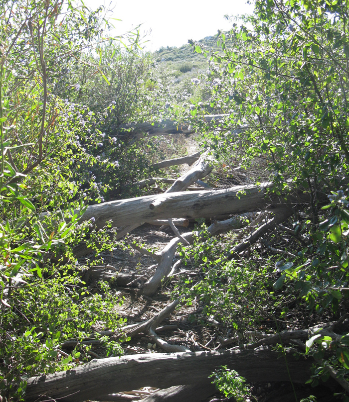
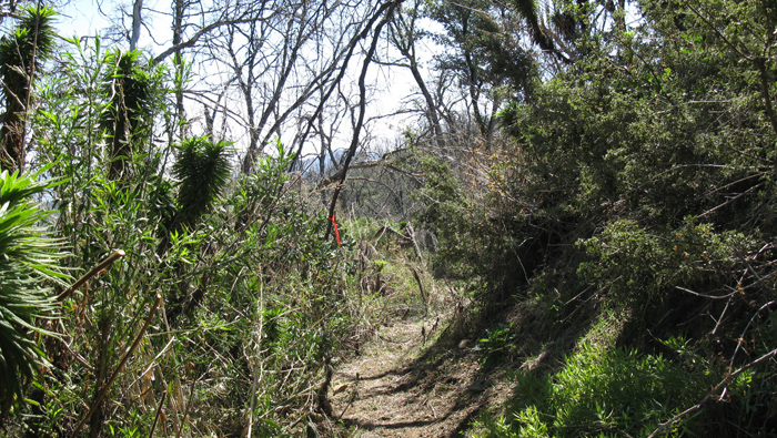
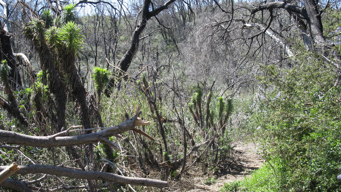
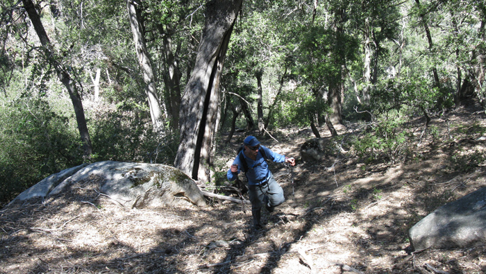
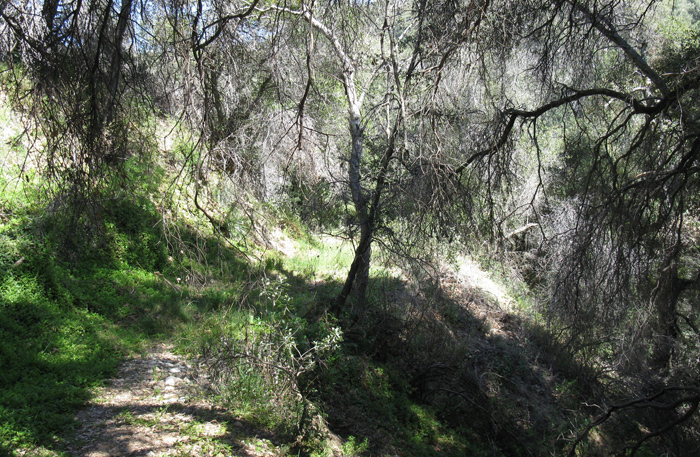
Once on the Palomar-Magee trail the hike changed character. Thick vegetation reached over our heads, sections of deadfall and light bushwhacking became frequent. One section of the trail was so choked by vegetation that we were forced to crawl underneath it, almost down on our stomachs. For the most part though we were able to keep a decent pace and began looking for a way up Agua Tibia from around the 4600-4700 foot level.
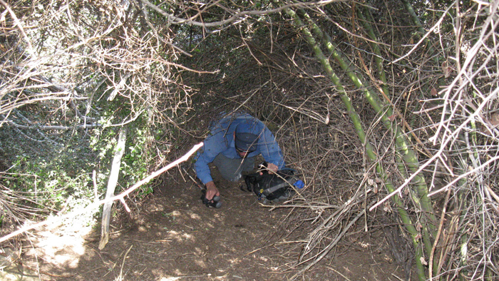
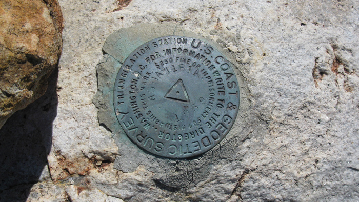
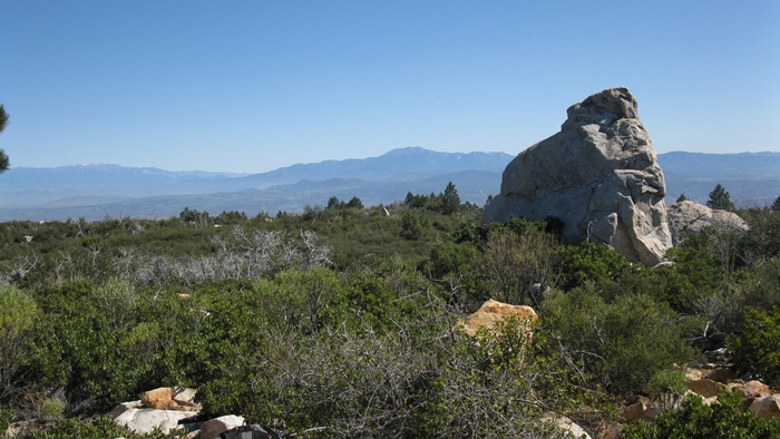
The official trail didn’t go to Agua Tibia’s summit and with near impenetrable brush, Phil and I sought out a use trail or other passageway leading to the high point. Just a tenth of a mile northwest from our destination, we did come across such a weakness and followed it as it zigzagged through the overgrowth. We hit dead ends a few times, then backtracked to try another way. Soon we reached a clearing and saw our destination, a few tall boulders on a rounded plateau. We walked over to the benchmark and summit register as the taller flora graciously receded. Phil and I signed our names at 10:03 am and took a lengthy twenty minute break in perfect weather.
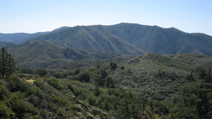
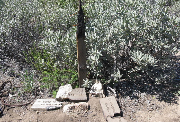
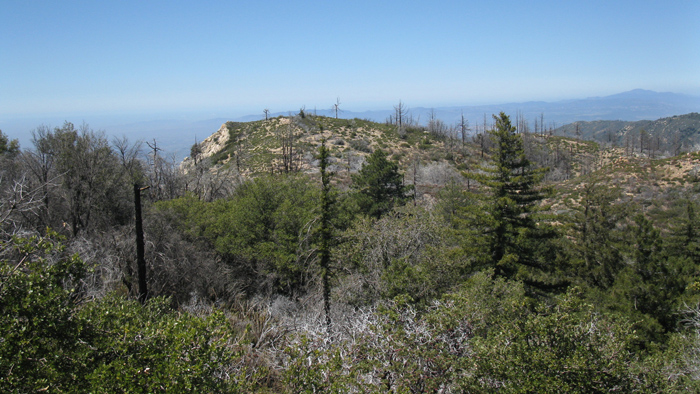
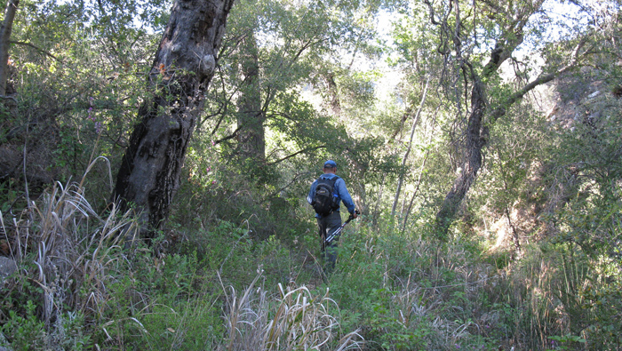
Once Phil and I had our fill of idleness, we retraced our steps back to the Palomar-Magee trail. We continued south towards Crosley Saddle and our next destination, Eagle Crag. This section of the trail was overgrown as before but with less deadfall, so pace didn’t suffer too much. Some of the route was flagged with brightly colored plastic here. We started noticing pockets of Poodle-dog bush, and avoided contact at all costs. A downhill all-the-way mile and a half got us to the leftovers of the sign that still marks Crosley Saddle and the junction with the upper terminus of the Wild Horse trail.
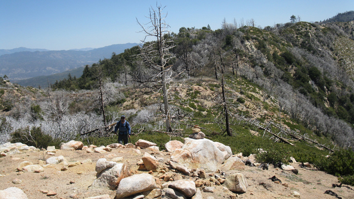
From Crosley Saddle we started back up hill again, this time on what’s labeled the Cutca trail on the topo. This part of the trail had seen recent maintenance with fresh cut branches along the sides of the path. Some larger deadfall slowed progress higher up but it wasn’t too bad. When we were just 400 feet shy of Eagle Crag’s summit, I looked for the gully as described in the HPS guide. There seemed to be footprints in the leaves on either side of the gully so I started up on the left with Phil just behind.
Phil and I weaved around debris, soon reaching what we expected to be the summit, then realized our mistake when we saw Eagle Crag about a quarter mile to our north. Dang. We dropped down a hundred feet and crossed over the top of the gully, correcting our blunder in just a few minutes. Poodle-dog bush (PDB) fiercely guarded Eagle Crag’s summit, one of the nasty plants was even flagged! I pulled out my collapsed trekking poles from between my pack and back and pushed the plants back so I could squeeze through.
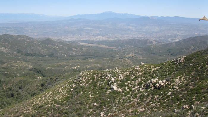
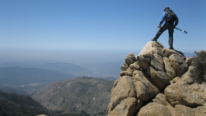
I reached the summit at 12:34pm with Phil a few minutes behind. He attempted a more selective route through the PDB, finally stopping before the thickest bunch about twenty feet from the summit. I would tease him indefinitely about this – a twenty-five mile hike and missing the summit of Eagle Crag by twenty feet. The landscape dropped off dramatically to the west giving Eagle Crag’s summit an airy feel. The views may have been endless had it not been so hazy below. It was surprisingly cold and windy, a precursor of the storm predicted to hit at about midnight. I grabbed a great shot of Phil checking out the views and we slapped on gloves to wade back through the PDB.
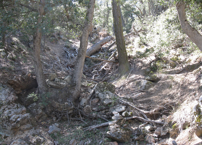
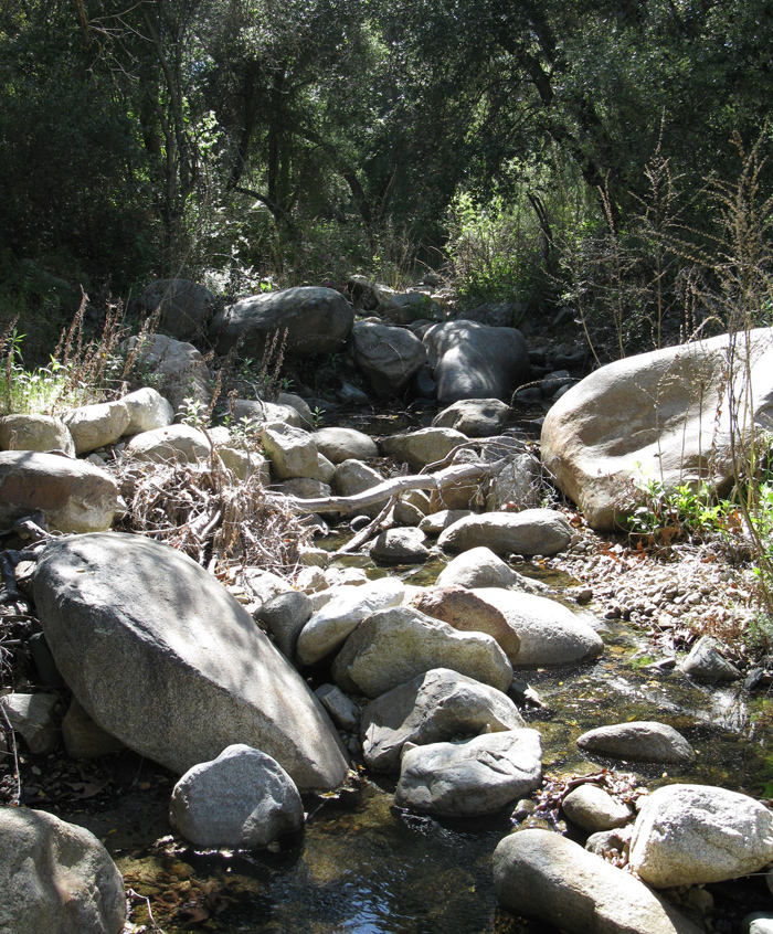
Once down to Crosley Saddle we started the long descent on the Wildhorse Trail. The upper trail was scenic with deep gouges to peer into and frequent sections of oak and shade. We crossed flowing water several times along the trail. After crossing the dirt road heading towards the Crosley homestead, we hiked a few annoying miles with a slight incline, then descended again into brushier conditions near Wild Horse Peak.
It was around the north side of Wild Horse Peak that I noticed Phil was farther behind than usual. I figured he must have stopped for a snack so I did the same. I played around with my GPS, studied the map, and quenched my thirst. When Phil still hadn’t come around I started backtracking and calling his name. I then heard some thrashing in the brush:
“Phil?!”
*thrashing stops*
“Yeah?”
Phil had missed a sharp bend in the trail and hiked into a corridor of brush, thinking it was more of the same we’d encountered earlier on the hike. I talked him back towards the trail and we continued, now with Phil insisting on the lead.
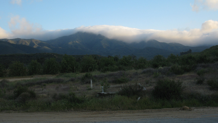
We reached the campground at 5:35pm with sore feet and empty stomachs but otherwise unscathed. Phil thanked me for the long outing and I returned with gratitude for the company. We noticed that Agua Tibia was socked in with thick clouds during our drive out. We grabbed tacos in Temecula, content with the days adventure.