
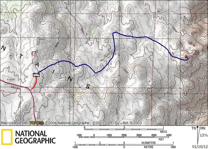
P3339 (SDC #74, 3339′) • map • directions*
I woke up just after 7am in the back of my Tacoma, the sole occupant of the Lark campground in McCain Valley. I’d kayaked Lake Morena in perfect weather yesterday but the wind picked up overnight and I was reluctant to get out of my warm cocoon and into the cold. I’d prepped my pack the night before and took just a few minutes to brush my teeth, slam a quick breakfast and drive the few miles of easy dirt road to my starting point for P3339.
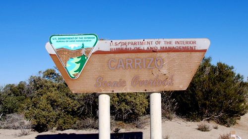
I had hoped to drive what’s labeled as Lost Valley Road on my map but I found it heavily overgrown so abandoned that idea. Further down McCain Valley Rd was a turnoff to the Carrizo Overlook, not shown on my map. I drove the short distance to the viewpoint and to my surprise found a trailhead. I piled on some clothing and started the descent into the valley below.

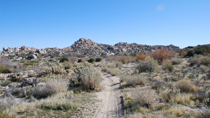
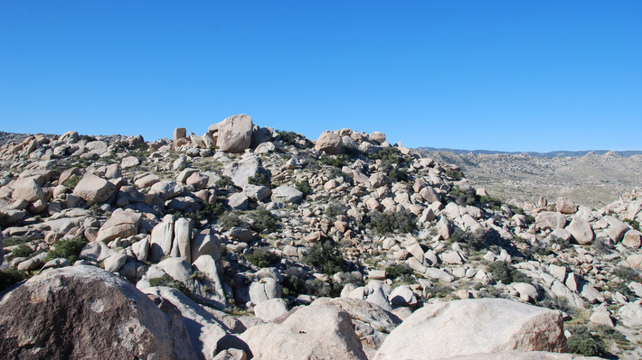
The trail showed signs of moderate use, mostly by mountain bikers and a few rogue motorcycles. Despite the tracks this area seemed rather lonely, at least today. I followed the trail down and down, taking left turns at the two intersections I encountered to continue east. At a third junction I went left again but quickly backtracked and instead went right. The trail continued downhill and east, briefly turned north and away from P3339, then east again. I left the trail about a half mile from the peak with just a few hundred feet to gain.
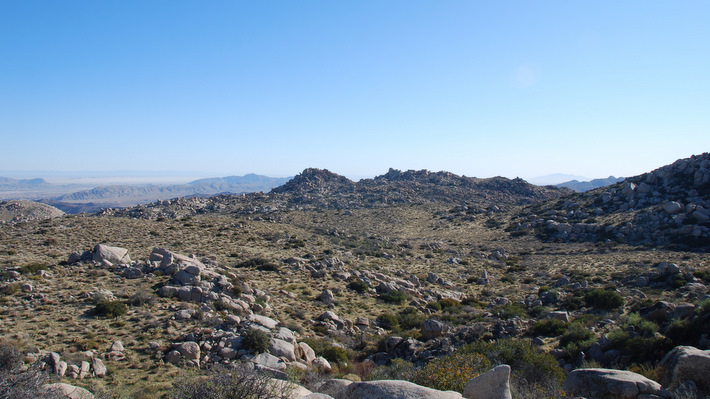
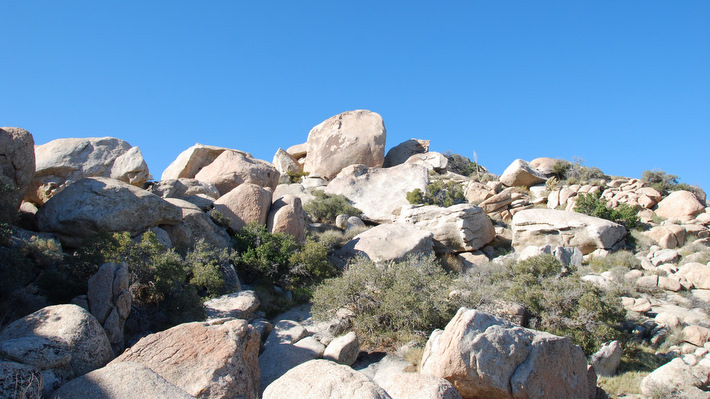
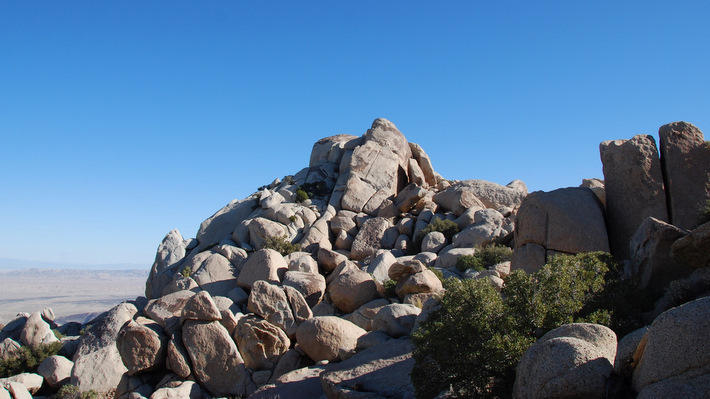
P3339 seemed to be the middle of three sub-peaks within a few hundred feet of each other, so I worked my way around the right side of the first and kept in that direction. Climbing over a few small boulder piles, I was soon on the south side of the second “bump” and what my GPS would show to be P3339. I hiked up and into a large gap between the massive summit rocks, then mantled the second highest boulder which put me above the high point.
The eastern-most point was roughly 500 feet away and clearly higher so I went to have a look. It took a few minutes to get near its base where I proceeded to scramble up to the class 5 summit block, the last bit being too spicy to continue. I consulted my GPS and confirmed that the lower point to the SE was indeed P3339.

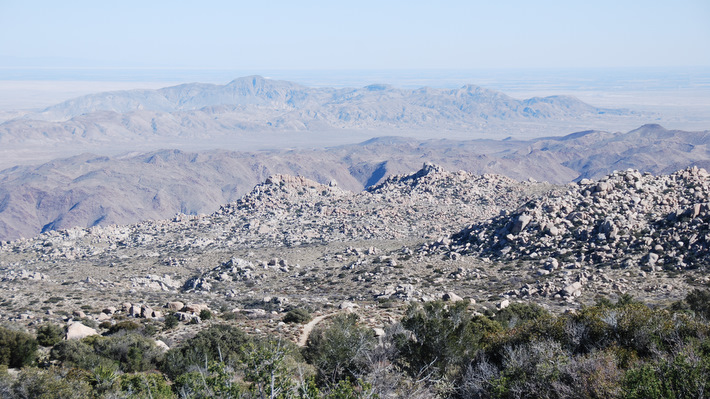
I peeled off my jacket in the warming sun and took a few minutes to admire the landscape, especially views of the distant Carrizo Gorge railway, too far for a decent picture. The return hike went quickly, my mind wandering, and I passed two hikers on their way to P3339. Driving out in the daylight this time, I saw all the new construction for SDG+E’s Sunrise Powerlink that would soon be running through McCain Valley, ugh. I took a detour to drive Old Highway 80 and see the obscure town of Jacumba before heading home to ponder next weekend…

*-I’ve added an intermediate point within the driving directions to direct you to McCain Valley Rd, as Google will re-route you onto Ribbonwood Rd.