
Granite (SDC #38, 5633′) • map • directions
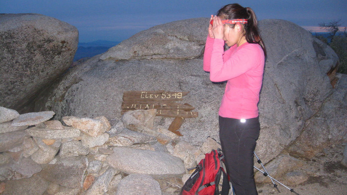
Whale (SDC #39, 5350′) • map • directions*
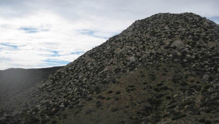
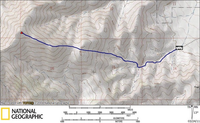
Granite Mountain is one of the most recognizable mountains in Anza Borrego, with Villager Peak being the only thing higher to the east within San Diego county. I’d hiked to the summit with a few friends earlier this year and planned on the same route with Anna this time around.

From the parking area just a mile off of Highway S2, we started west, dropping into and following the wide wash that drains the east side of Granite. We stayed in the main wash following a use trail, climbing over a few easy dryfalls until the wash split three ways about a mile from the truck. We took the right fork for just a few minutes, climbing over another dryfall, and started up towards point 4624.
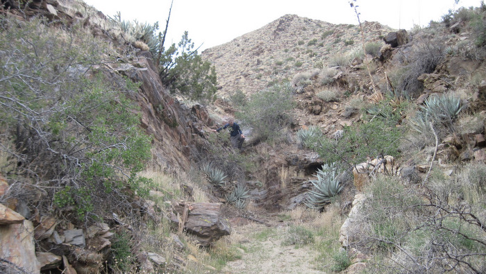
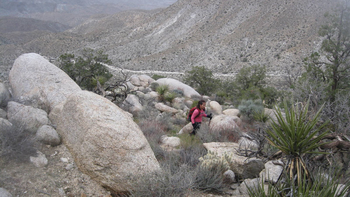
The light rain on Granite Mountain the night before made the desert sand heavy, making the going a little easier as we crossed over point 4624 and approached the steepest part of the hike. Anna and I were immersed in upwards progress and didn’t bother to look for the ducked route through the roughest part. We worked our way through the boulder field, scrambling a short crux 2/3rds of the way to P5184.
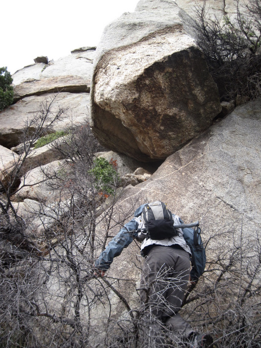
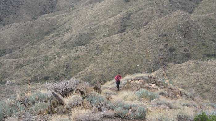
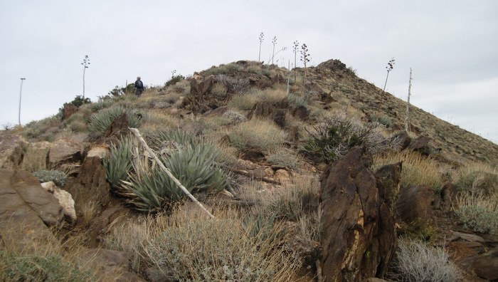
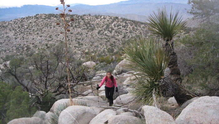
Anna and I continued along the ridge towards Granite’s high point, following more faint use trail and passed a lone hiker moving very slowly. The last 150 feet to the summit took a bit of routefinding through stubborn plants and stacked boulders, and seemed to be easier to contour right rather than left as I’d done on my previous trip. We bumped into another hiker at the enormous summit boulder, obviously frustrated when he asked how far back his partner was.
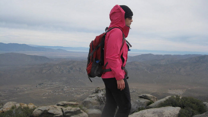
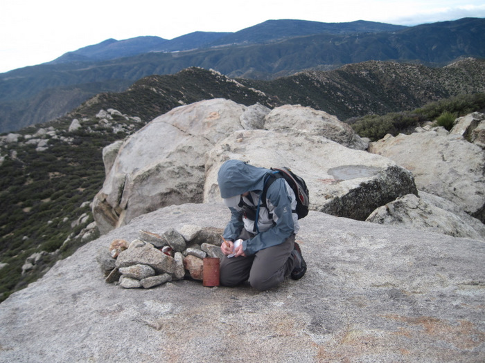
It was chilly with overcast skies but that didn’t take away from the commanding view to the north and east. I signed Anna and I into the register and we started down, passing the slower hiker who was now sitting on the ground, not far from where we’d passed him on our way up forty minutes ago. He appeared to be fit but with little interest in his current situation.
Anna and I found an easy route down through the middle of the boulder field below point 5184, the fourth time and the fourth different way I’d been through it. We noticed a tent tucked away near point 4624 that we’d missed on our way up, the music of an acoustic guitar coming from within. We continued down to the wash and followed it out to the truck, grabbing a bite to eat as we drove towards the next hike.
Whale
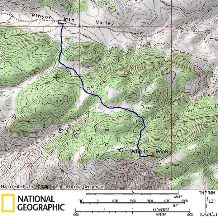
After leaving the trailhead for Granite Mountain, we drove back to county highway S2, then crossed it to continue east on another dirt road, Pinyon Valley. We had driven Pinyon Valley Road for a night hike of Pinyon Mountain just two months ago, and had parked and walked from a rough section. This time we would drive it and hike Whale Peak from the north.
Whale Peak is another Anza Borrego giant, though more of a huge mass than the chiseled peak of Granite. Whale is rated number 68 on the California prominence list, a measure of dominance over its surroundings. Anna and I had previously hiked Whale Peak earlier in the year, reaching the summit via a longer route from the southwest. Whale Peak had actually been Anna’s first off-trail and first desert hike, after which she swore off desert hiking. Luckily she changed her mind.
When we reached the rocky step in the road that had stopped us before, I drove halfway over it and got out to take a look. I was just barely going to clear it with 12 inches of clearance (I did scrape both my on the way out). We finished the drive to the north side of Whale and what would have been the most efficient starting point for Pinyon Mountain to the north as well.
We started up what we thought was the prominent gully described in Schad’s book, Afoot and Afield in San Diego County, but in retrospect I think we started a little further west and did a little more gain than was necessary. The going was slow, mixed cactus and rock preventing us from reaching our preferred pace. We found a use trail at about the 4600 foot level and followed it the remaining half mile and 700 vertical feet to the summit. We barely made the top before dark, and stayed just a minute before heading down.
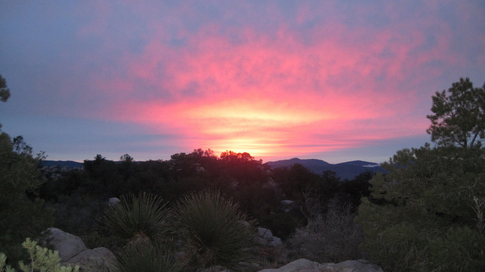
Leaving the summit, we set a fast pace in order to reduce the time we’d need to hike by headlamp, becoming battery dependent and slowing down at around 4600 feet. From there we ran into thick areas of brush and had to backtrack a few times but added just a few minutes to our hike. Once down onto the desert floor Anna and I found the truck and drove off to Indian Valley, where we’d cook a nice pasta dinner and set up camp in preparation for tomorrow’s hike.
*-The driving directions for Whale get you to the turnoff for Pinyon Mountain Rd. Continue east on this road for the northern approach to Whale Peak (high clearance required). See the satelite view in Google Maps for help in visualizing the route.