
Sombrero (SDC #71, 4229′) • map • directions
False Sombrero (SDC #68, 3463′) • map • directions
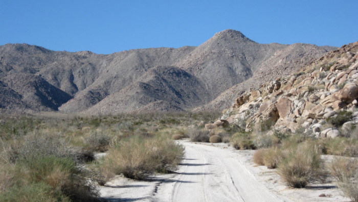
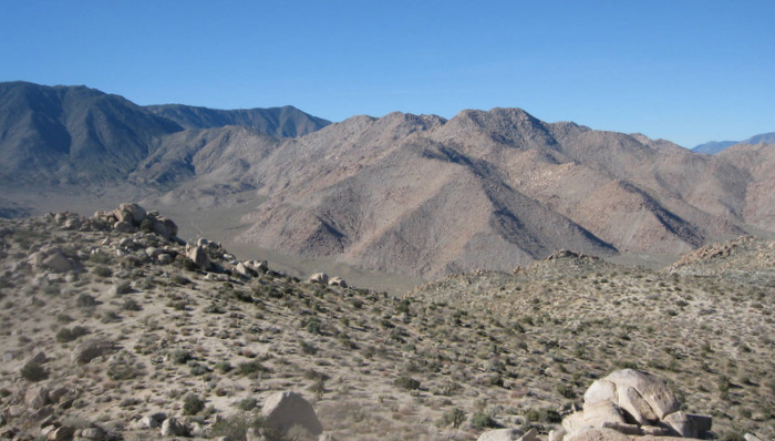
We woke up in the back of the truck at the base of Sombrero Peak, having found our way into Indian Valley the night before. Both Anna and myself were rested after yesterday’s hikes, and were quick to get up and start moving. We had driven in on the sandy road (2WD okay) to our camp in the dark so I never got a good look at Sombrero Peak. The summit was out of view from the trailhead but I was sure that we could just hike straight up the slope from where we’d parked, so that’s what we did.
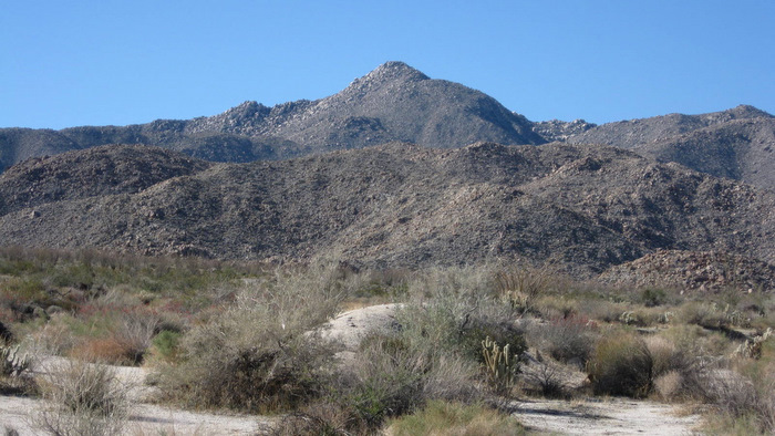
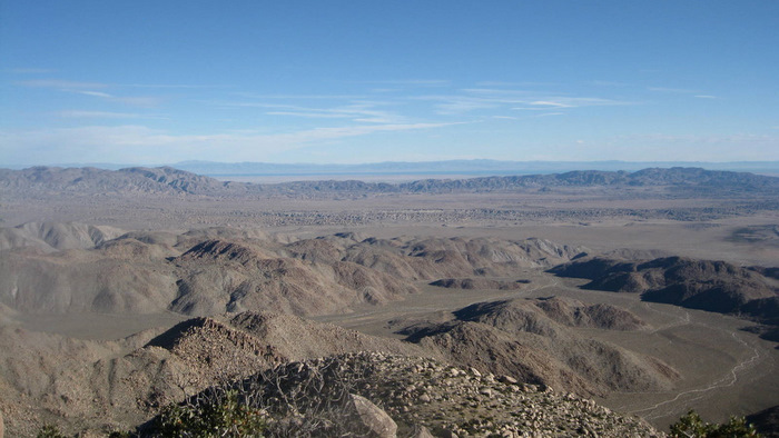
We walked east for a minute or two through a wash until we saw a good line through the cactus, and started hiking up the steep slope at 7:20am. We gained 500 feet in a fifth of a mile, reaching a low angle plateau where the views opened up. From the plateau we could see down to Indian Valley behind us, Sombrero in front of us, and the very top of False Sombrero to the north, to which we would be heading as soon as we got down from Sombrero.
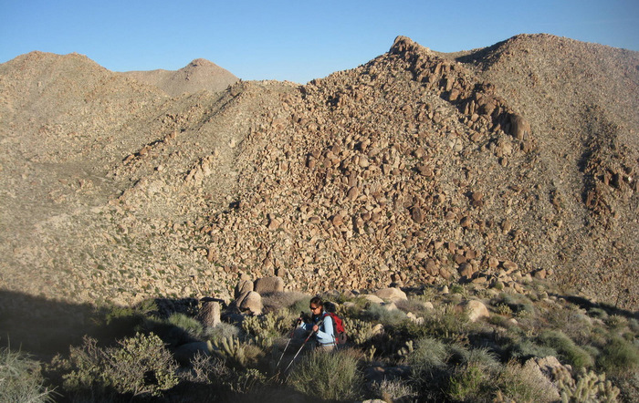
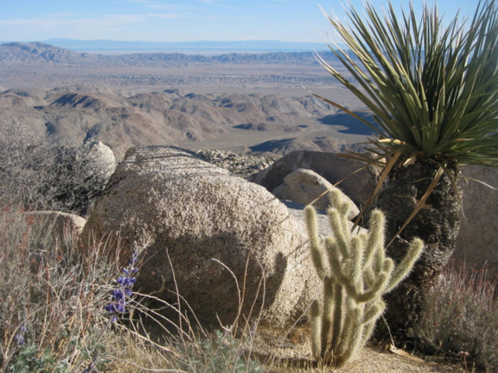
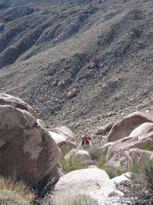
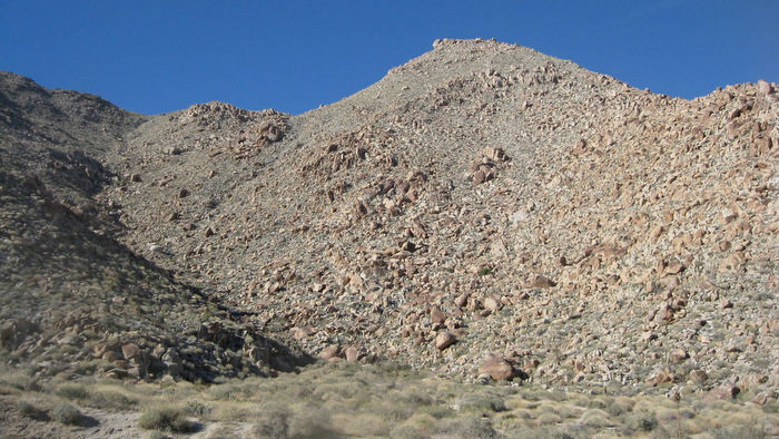
I continued towards the highest point I could see on Sombrero, the going being easy as far as off-trail hiking goes. Anna was just a minute behind me as we got near the top of the second steep but short slope of the day. We followed pieces of a faint use trail that traversed to the left towards the rocky summit, with the final 200 feet being guarded by cactus, trees, and huge blocks of granite. The trail meanders back and forth through rocks, though we eventually lost it and just made our own way. The summit register was busy, resting in an ammo can on top of a boulder the size of a small car. We signed in at 8:40am and took in the amazing views of the Carrizo Badlands to the east and Carrizo Gorge to the south. I had forgotten at the time, but supposedly you can see the Goat Canyon Trestle from Sombrero.


We descended from Sombrero the same way we had come up, crossing paths with one pair of hikers on their way up. We returned to the truck at 10:14am, put on clean shirts and downed a couple of drinks before the short drive over to False Sombrero…
False Sombrero
After Sombrero Peak, Anna and I had drove to the north fork of the dirt road running through Indian Valley, continued to its west end, and parked near a few people car camping near the base of False Sombrero. Sombrero Peak, being a DPS-listed peak, had a published route and plenty of info. False Sombrero on the other hand had squat, though being just 1300 feet higher than where we parked, it didn’t seem to matter too much.
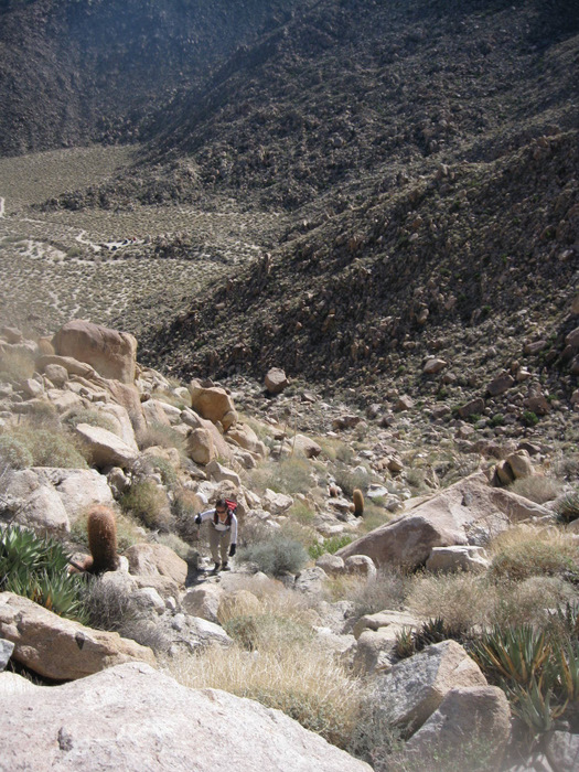
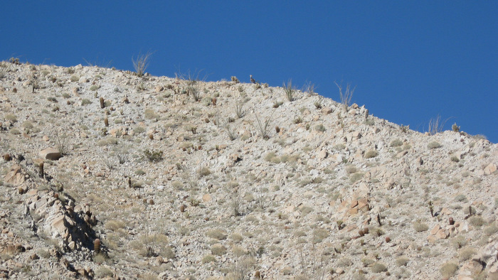
From the truck, we could see most of the southeast side of False Sombrero. There seemed to be several options for getting to the summit, none with a clear advantage over another. We started west into the wash that runs below the south side of the peak and turned right when we saw a good route through the cactus, boulders, and loose dirt. We just kept heading up, searching for the path of least resistance, and topped out onto the summit area an hour after leaving the truck. Scrambling through a few large boulders got us to the mild summit boulder and its register at 12:10pm. The register averaged about an entry per year, though we were the third and probably last people to sign in 2010. The last visit was just a week prior and I recognized the names from the first hike of 2010, Bob Burd and Tom Becht from Summitpost.com. I’d met Bob briefly in Lone Pine just last August. Small world.
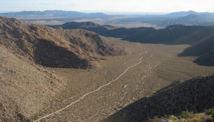
The views on False Sombrero were slightly less than on Sombrero, though we had a clear view of the Sawtooth Mountains, to which we would be paying a visit sometime in the future. Ready to head down, Anna and I dropped a few hundred feet to the west and into the top of the sandy gully running down the southwest side of the mountain. The sand made for an easy descent and we found footprints in the upper gully, assuming from the person who’d signed the register a week ago. The sand got us down a good 700 feet before we were funneled into the wash leading back to the truck. We arrived back to the truck at 1:10pm where Anna and I agreed that both Sombreros were favorites so far and would be worth a repeat sometime.
We debated on hiking one more peak before heading home, I had the map for nearby Stage Mountain handy just in case. As we drove to exit Indian Valley, we came to an abrupt stop, blocked by a truck parked truck in the dirt road in front of us. The truck’s owner walked over and pointed out several bighorn sheep on the nearby ridge. I wished I’d had my better camera but managed an awful shot with my point-and-shoot. Anna and I spent a short while watching the sheep and talking with our new friend before heading back out to County Highway S2. We stopped to check out a possible route on Stage but decided to save it and get home at a decent time for once. Besides, we’d be back in just 5 days…
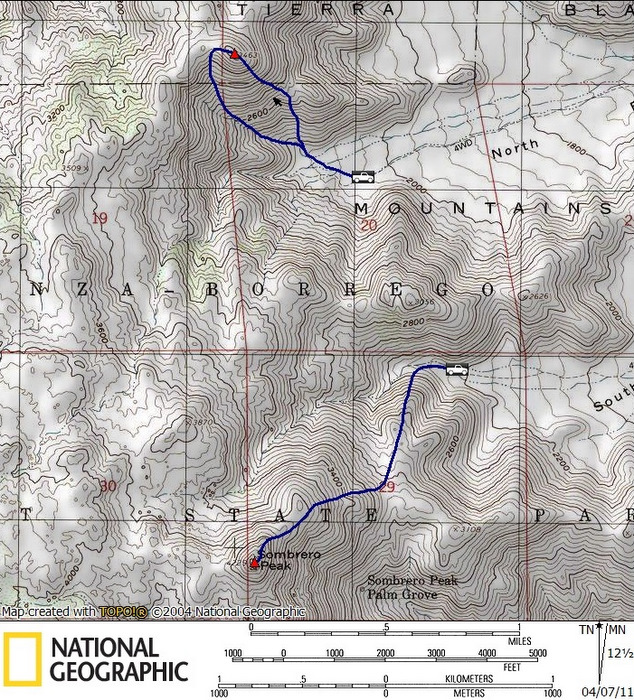
False Sombrero stats: 1.7 miles roundtrip, 1400 feet gain/loss