
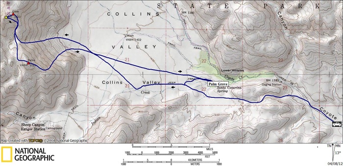
Elder (SDC #4, 3433′) • map • directions*
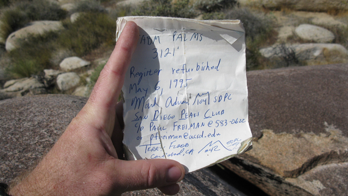
Palms (SDC #5, 3121′)
It was blowing like crazy when I pulled up to what’s referred to as the “second crossing”, the second of three places where the road intersects Coyote Creek while traveling the north from Borrego Springs. I pulled into a large turnout on the left where a few other cars were parked, and set out my sleeping bag in the passenger seat to get some shuteye around 11:30pm on this Thursday night. I’d hoped to sleep in the bed of my truck to stretch out a little, but the wind was already strong enough to rock the truck, so no way I’d get any sleep back there. In fact, I had a tough time even brushing my teeth outside without having my face pelted by sand. I had little trouble getting to sleep in the front seat though, and woke up to much calmer conditions at 6:15am.
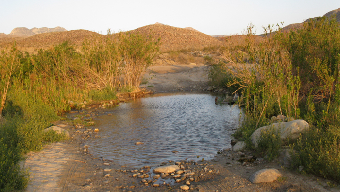
It was cold enough to wear a jacket and wish for another as I walked the road into Collins Valley just before 7am, though I knew that would change quickly. I’d seen the third crossing once before with water more than 2 feet deep, which is why I’d chosen to leave the truck back at the second crossing. On this day though the water would have been no problem for the 2WD Tacoma. I debated on heading back to get the truck, but I’d heard the road got rougher up ahead so decided against it. It would turn out that I could have driven almost to the base of Elder and Palms, but by the time I figured that out the time savings wouldn’t have been worth the effort. (When the water is low, a 2WD with a locking differential, high clearance, and good tires would get you up the smoothed rock-littered crux of the road. I’ve yet to see a road labeled 4WD on the map that hasn’t been navigable by a decent 2WD vehicle with high clearance, though I know there certainly are some in Borrego. Don’t get me wrong though, the road here IS rough).
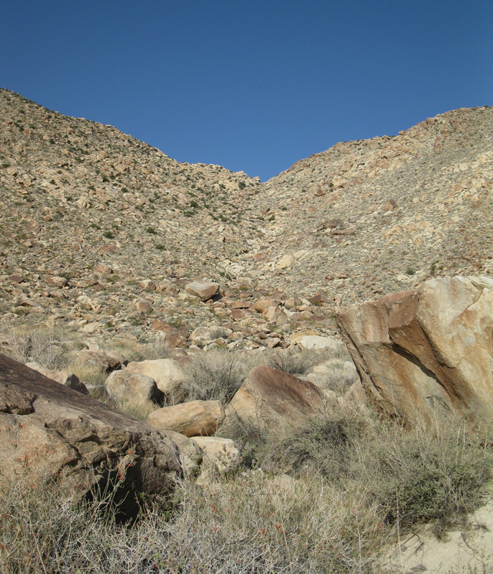
It took me about an hour and twenty to get to the base of Palms and Elder, making faster time once I left the sandy Sheep Canyon trail and onto harder packed dirt. During that time it had warmed up considerably, but not to any discomfort. From a distance the intended route looked intimidating, but by the time I was at its base it didn’t look so bad. I climbed up a boulder filled gully between the two peaks, making good time over easily climbable boulders interweaved with pockets of steep dirt. I reached a nice flat area between the two summits at 8:32am, and took a short break to mow down a granola bar.
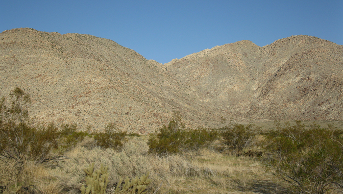
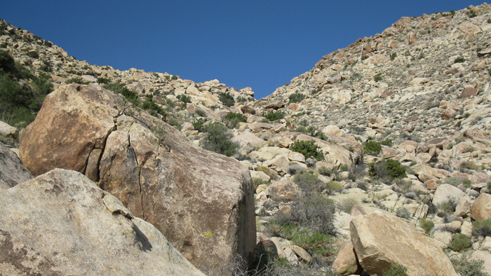
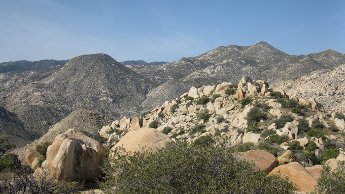
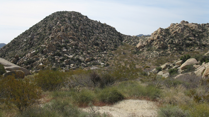
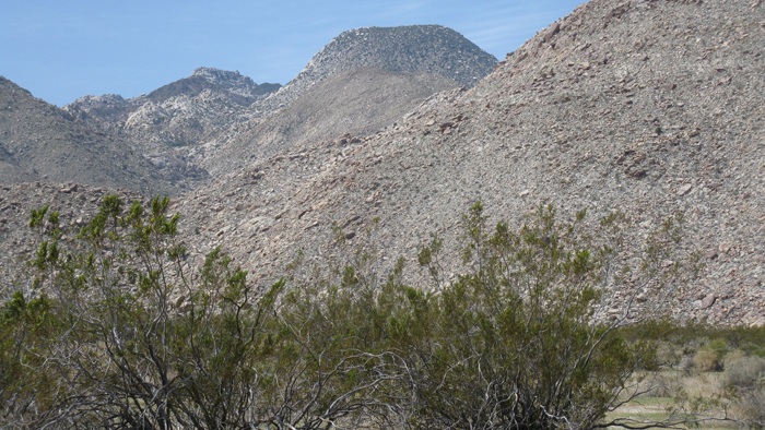
The chute between Elder and Palms, I stayed left of center
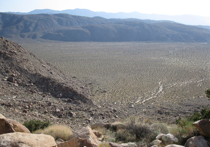
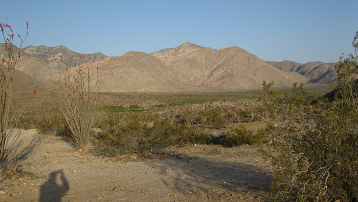
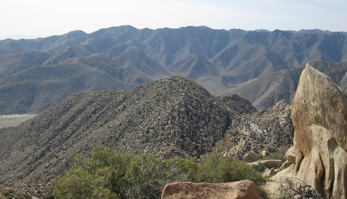
Collins Valley from about halfway up the chute
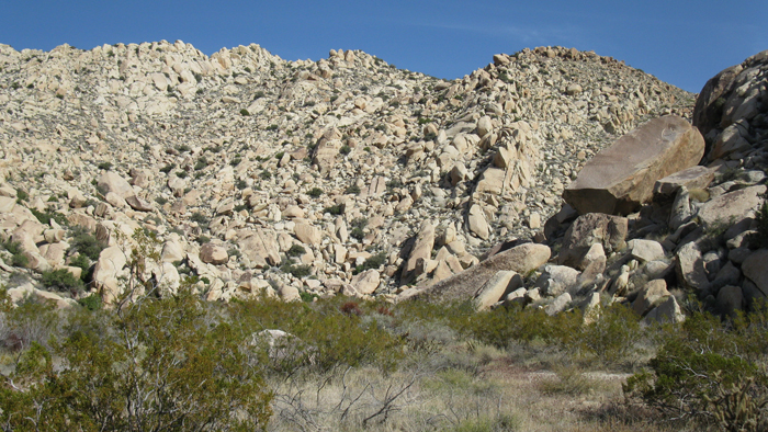
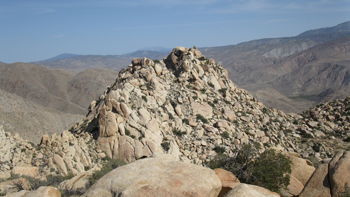
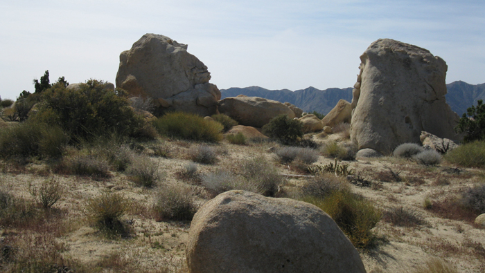
Elder from the flat between the two peaks
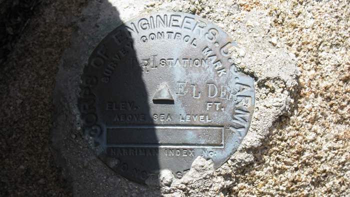
Heading towards Elder, I waited until the last minute to step off the flat and onto steeper slopes. The angle up Elder was steeper than what I had come up, with some easy class three mixed in for fun. I wrapped around to the east to avoid much steeper rock, actually finding easier terrain as I got higher. I crested the summit plateau right near the benchmark, and it took me a minute to find the register even though I could have kicked it if I just would have looked down.
From Elder, Palms was several hundred feet below and looked mild from where I was, but Mt. Collins, which I had hiked just a few days ago from the west, took the cake as far as dominance and aesthetics. In fact, Collins was visible even from the second crossing and the drive in. I was glad I didn’t have to make the trek over there this day however, as I was looking forward to a relatively short day in the desert.
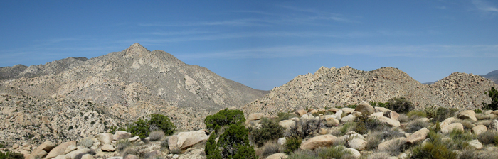
Looking south from Elder, Squaretop on the left
Elder’s northern point
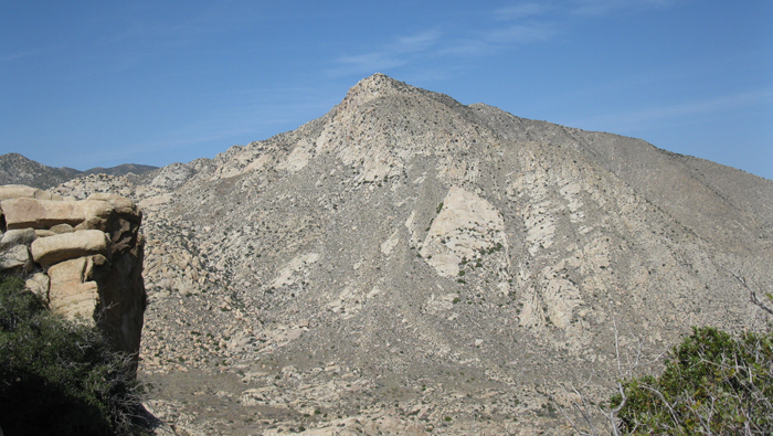
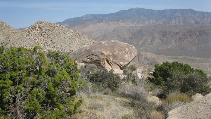
Palms from Elder
After signing the SDC register at 9:39am, I took a quick jaunt over to the higher summit just southwest of where I was (though a northern summit appeared to a contender as well), but declined to climb the slightly exposed summit rock. It actually appeared to be a fairly easy climb from the west and had it been the SDC objective I would have gone for it, but I lacked the motivation otherwise. So I continued back down to the flat between Elder and Palms, with my sights set on a saddle just west of the Palms benchmark.
Palms had more brush than Elder did but at half the elevation gain from the flat, it was easy pickings. I climbed up on orange desert boulders and even more desert dirt, reaching what I thought was the summit boulder at 10:35am. An easy scramble got me to its top but I found no register, so I climbed back down and spotted a lower boulder that appeared to have a cluster of rocks on top, resembling the makings of a register. A minute walk got me over there and I did indeed find the summit register, to which I signed my name. Another entry mentioned signing the register at the highpoint, but I searched again en route to my planned descent and came up empty ended, not that it mattered too much.
What I believe to be the highpoint of Palms, the boulder on the left
Palms
Before dropping down the east side of Palms, I again took in the striking views of Mt. Collins, and also Squaretop. It was hard to stare at anything but Squaretop while looking south, such a cool mountain. I started descending down the east side of Palms, at first just going down what looked easiest, but eventually being funneled into a steeper chute. The terrain actually became steeper than what I had come up and my pace slowed, especially when confronted with a few dryfalls, none of which were too difficult though. I reached the desert floor just before noon, to be startled by large coyote that ran off from behind a bush.
Squaretop from Collins Valley
I took a side trip to visit a small palm grove on the way back to the truck, which wasn’t out of the way by more than a minute or two, or so I thought. The brush got thick a few hundred feet from the oasis, but I found an easy enough path to get to the base of the thick trees. Thinking I could continue on to the truck without backtracking any, I pushed through more brush to a smaller section of palms, and then another, before it just got too thick to get through. Not to mention some of the stuff was thorny and I was starting to get stuck pretty good, even drawing blood in several places on my arms. I decided to turn back the way I came, though I quickly realized it would be near impossible to retrace my steps exactly. I thrashed about for another 15 minutes before finally finding a way back through, in near disbelief that my side trip to the palms had become the only really frustrating part of the day. Haha.
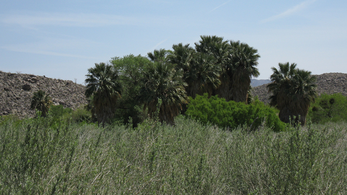
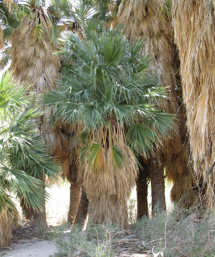
The palm grove in Collins Valley
*-the driving directions get you to Di Giorgio Road. From there you would continue heading north onto the main unpaved road heading towards Collins Valley. Google maps will route you on to De Anza Trail which is incorrect.